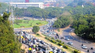
After making to the list of smart cities in India, Chandigarh is making all possible efforts to actually become smart. UT administration has started the use of drones to measure and map the properties in the city. These drones will also help keep an eye on building violations and encroachments in Chandigarh. With this idea of using drones to map properties in a city, Chandigarh has become the first city in India to do so. UT administration is conducting this survey with the help of PEC University of Technology and IIT, New Delhi.
What are Drones?
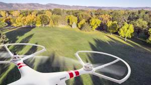
Drones can be called as flying robots in layman’s language. These are the advanced and a compact version of unmanned aerial vehicles (UAV). Drones are controlled by remotes or can even work on embedded GPS system. Drones are the new technology trend. Apart from photography, drones are also used to deliver courier packages, for security survey and other tasks. Amazon is one such company, that is experimenting on package delivery in USA.
Why Chandigarh Administration is Using Drones?
 The main aim of the UT administration to implement drone system is to map each and every dimensions of all properties in Chandigarh. By the word properties, we mean houses, commercial locations, parks, gardens and everything in Chandigarh. An aerial view from the drones will help the Chandigarh administration detect the building violations and encroachments.
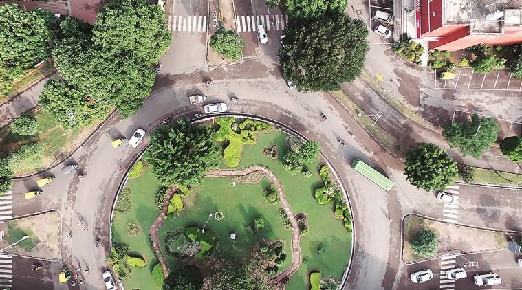
The drones flying over each sector of Chandigarh will create a high-resolution 3D maps and images of the city beautiful.
Along with this initiative, the estate office is also planning to link the Aadhaar card of the owner with the property that he/she owns in Chandigarh.
Drone Survey in Chandigarh
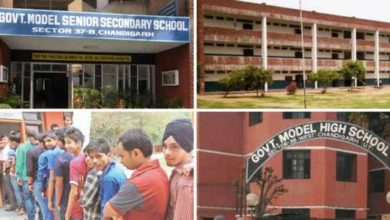
Chandigarh administration has already started the pilot project by using drones to get an aerial view of all properties in Chandigarh. The survey has been initiated from Sector 7, Chandigarh. After sector 7, the plan is to cover entire city of Chandigarh one sector at a time.
It is estimated that the aerial survey of entire city of Chandigarh would be completed by March. The entire operations are being performed by trained professionals and hi-end drones along with professional cameras are being used for the project.
So, if you see a drone flying above your house in Chandigarh, do not panic. Just smile and wave your hand. Hopefully, you’ll be captured in the video and even those high-resolution aerial images of Chandigarh – The City Beautiful.
Feature Image Credits: Indian Express